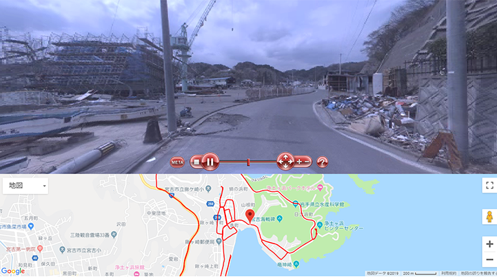
Spatio-Temporal Image Data Archive of 3.11 Earthquake and Tsunami Disasters and Recoveries draws a path on Google Maps based on the locations from the spatio-temporal image data archive of 3.11 earthquake and tsunami disasters and recoveries. It allows users to browse the previews and to download the original dataset from the DIAS Data Download System as well. It also enables filtering of the data based on the recorded date.
HOW TO USE
DIAS account is necessary. Please contact the DIAS Office for details:

LOGIN
Spatio-Temporal Image Data Archive of 3.11 Earthquake and Tsunami Disasters and Recoveries
http://apps.diasjp.net/311-tsunami-recovery/
*Available only in Japanese