2024.4.19
Telemeter Data and its download system are now available
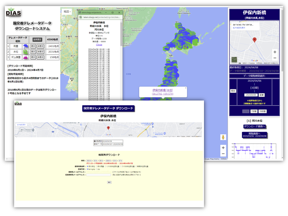
The MLIT Telemetry System is a remote monitoring system developed and operated by the Ministry of Land, Infrastructure, Transport and Tourism (MLIT) in Japan.
It collects data on various parameters such as precipitation, water level, various dam volumes, snow depth, water quality, and coastline, in real-time from around 10,000 observation points nationwide.
The “MLIT Telemeter data download system” application is to download this telemeter data for each observation point.
For an overview of the application and the procedures for using it, please refer to the application introduction page.
Note that the display in this application is in Japanese only.